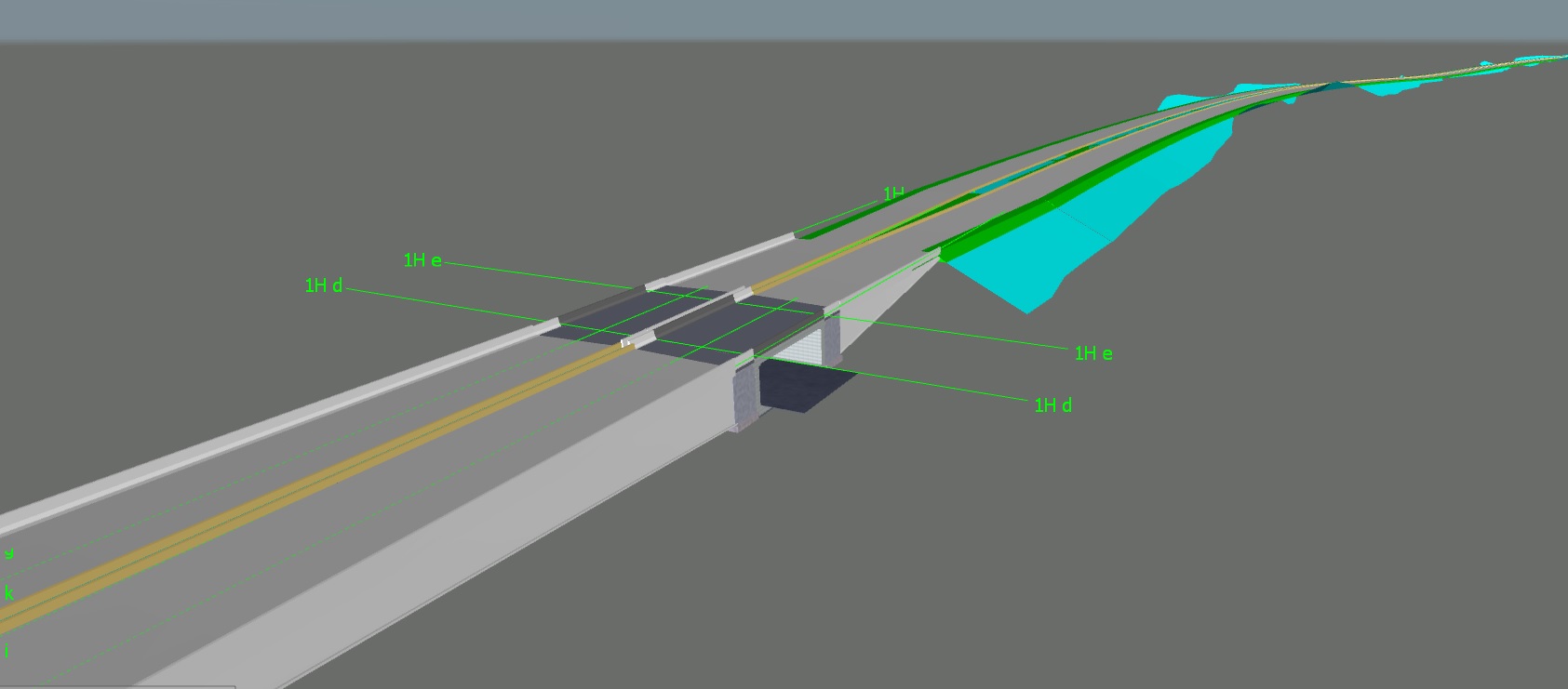
BIM is an intelligent 3D model-based process that gives architecture, engineering, and construction professionals the insight and tools to more efficiently plan, design, construct, and manage buildings and infrastructure. BIM is not only technology; it is a combination of people, process and technology. It brings together all of the information about every component of a project in one place, making it possible for anyone to access that information for any purpose.
BIM makes it possible to bring together every piece of information about the project from various disciplines in its existing stage and proposed stage. This makes it possible to take important strategic decisions at design stage to optimize the project cost and resources. Further, the model can be utilized during the operation stage as well as maintenance and as an asset management device.
BIM is implemented by each discipline involved in a project and overall output can be shared for review, comments and verification. For Infrastructure Projects following disciplines can be considered as a part of project.
- Road Design (Geometrics, Crust, Junctions etc.)
- Road Furniture (Signs and Markings)
- Bridges
- Drainage
- Pipe Networks
- Lighting
All models are developed and shared in a Common Data Environment (CDE) for review, verification etc.
BIM offers following advantages as compared to conventional methods.
- Accurate quantity take-off
- Estimation of exact cost of work
- Appropriate inputs for project planning and execution
- Proper documentation and work flow
- Clash detection between various disciplines
- 3D simulation and walkthrough
- Easy visualization and understanding of drawings and models
BIM is generally defined in terms of Level of Collaboration and Level of Development.
Level of Collaboration:

Level Zero
This is the current method of working in our industry with least retention of information.
- Simplest form of BIM
- Level Zero means no collaboration
- Only 2D drafting is utilized to produce information
- Distribution is through hardcopies or electronic copies or both

Level One
This is mixture of 3D CAD and 2D drafting.
- In this 3D CAD is used for concept work and 2D for drafting and documentation and Production Information
- Electronic sharing of data is carried out from a common data environment (CDE)
- Models are not shared between project team members
- Concepts may be similar to a prototype which cannot be used beyond visualization.

Level Two
This is mandatory current level of operations adopted for UK projects from 2016.
- This involves collaborative working
- All parties use their own 3D CAD models, but not necessarily a single or shared model
- Design information is shared through a common file format
- All parties can combine their own data with model to make a federated BIM model, and to carry out different checks on it.

Level Three
This is highest level of collaboration yet to come in regular practice due to issues of copyrights and liabilities.
- This represents full collaboration
- All disciplines use a single, shared project model stored in a central server location
- All parties can access and alter the same model
- This removes even final possibility of risk and conflicting information
- This is also known as “Open BIM”

Level of Development (LoD):
LoD is a way of presenting design objects in terms of size, shape and other detailing. Figure below is self-explanatory for defining the Level of Development.

Execution on BIM
- BIM offers extensive advantage over current method of working.
- Information related to construction phasing, planning, costs incurred and quantities to be executed can be accurately generated.
- Overall documentation of the project is improved and repetitive work can be done faster than conventional methods.
- Majority of the laborious issues which hamper the construction include the following.
- Utility Shifting Quantities and Estimate
- Tree Marking, Cutting and Estimate
- Issues of site obstructions and constraints
- These issues can be addressed by collecting exact site information and BIM models can be generated accordingly to produce information about such issues.
- All models are essentially 3-dimensional models and all information is very visual and interactive.
- All elements (whether structural or others) can be visualized and even a layman can understand structures easily instead of imagining from 2D views.
- It refines overall drawing production system and manual drafting errors are eliminated.
- Clashes between various disciplines viz. roads, structures, utilities and facilities etc. can be resolved before resources are mobilized on site.
- Models can be viewed on regular internet browsers and remarks can be communicated readily by sharing the same model with mark ups.
- General work flow remains the same; however, effort required in information collection and design phase is much higher than the conventional method.


